Field Methods
-
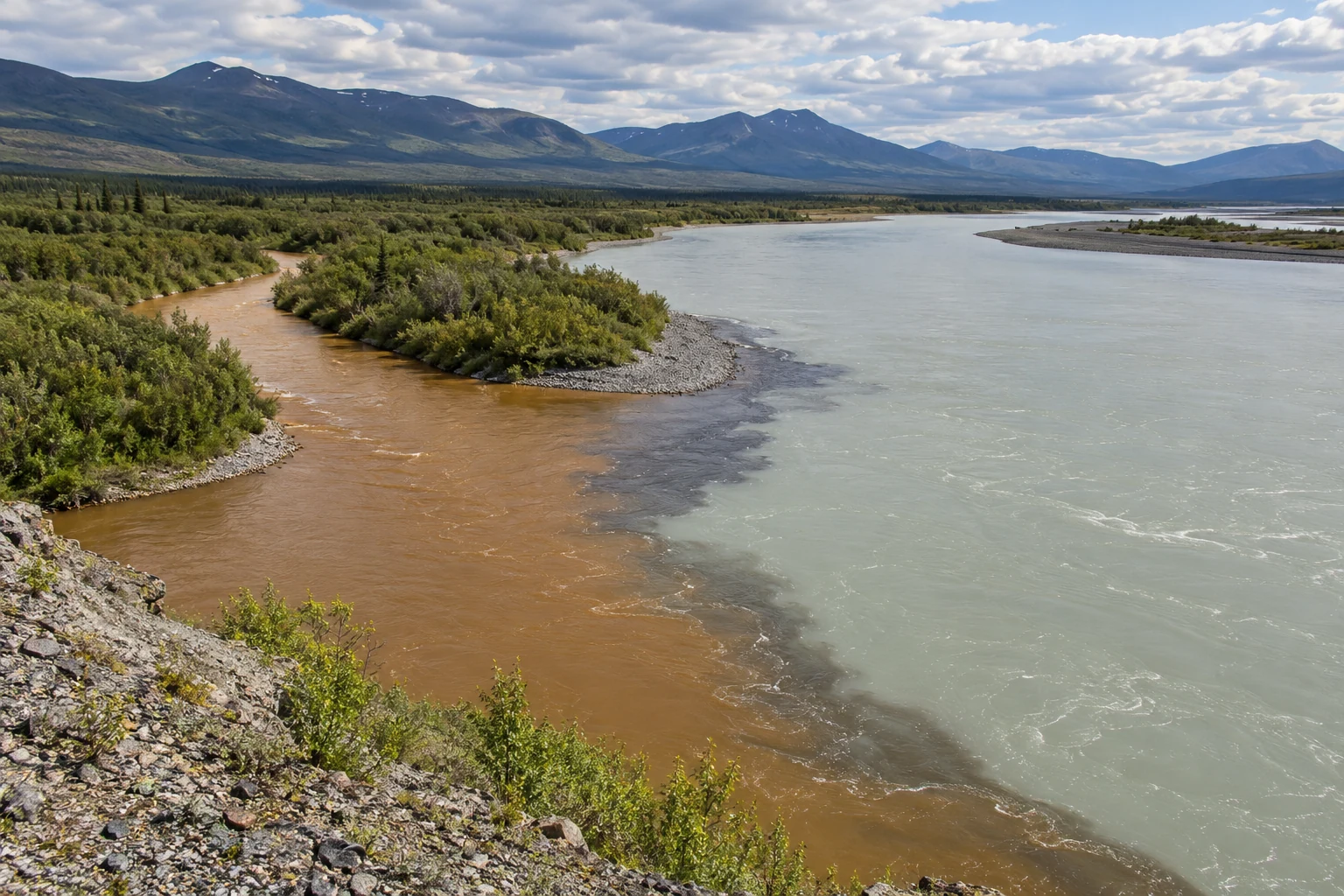
The muddiest water may not carry the most sediment
Concentration is only part of sediment transport. Water flow, event timing, particle properties, and representative sampling complete the picture.
-
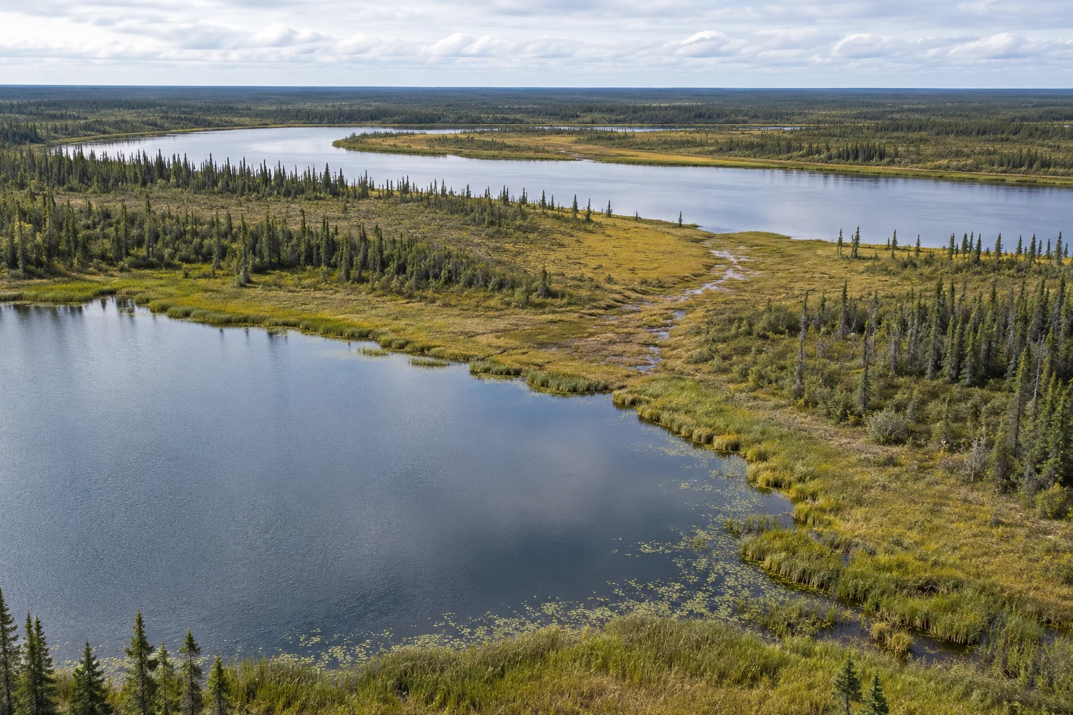
The lake with no visible outlet
Seasonal floods and hidden subsurface pathways connect northern waters. Yukon Flats research shows why a shrinking shoreline is not a complete diagnosis.
-
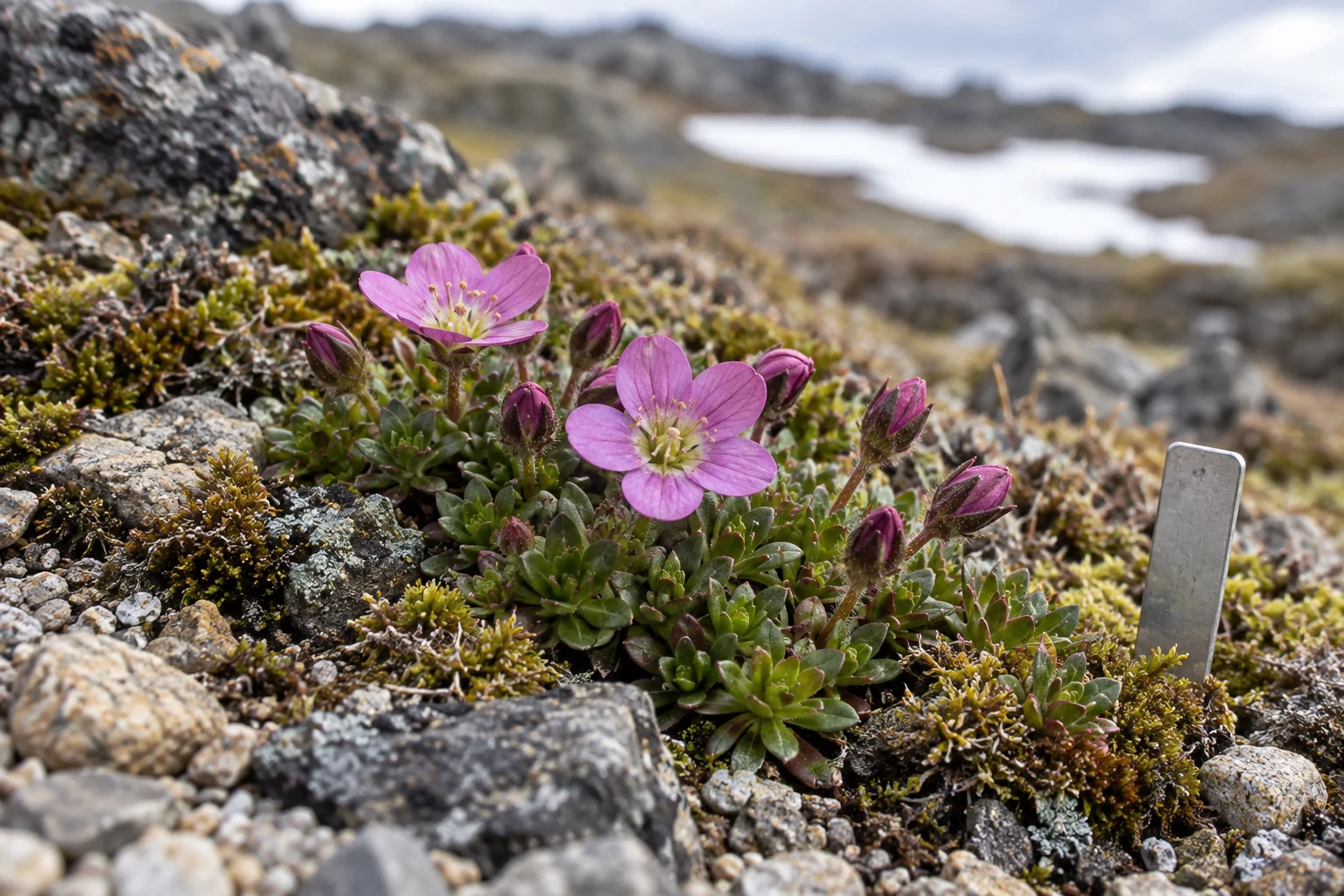
The first flower needs a previous visit
A first detection is not an exact onset date. Negative observations, visit intervals, and flowering intensity make phenology records more useful.
-
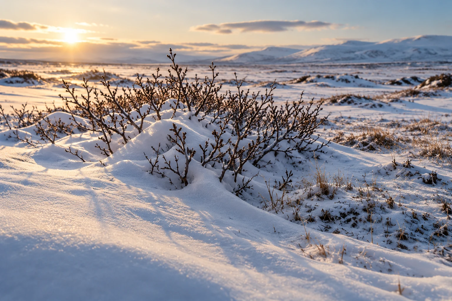
What taller shrubs do to winter
Shrubs alter snow structure, insulation, and sunlight. Published studies show why winter warming and summer soil effects must be read together.
-
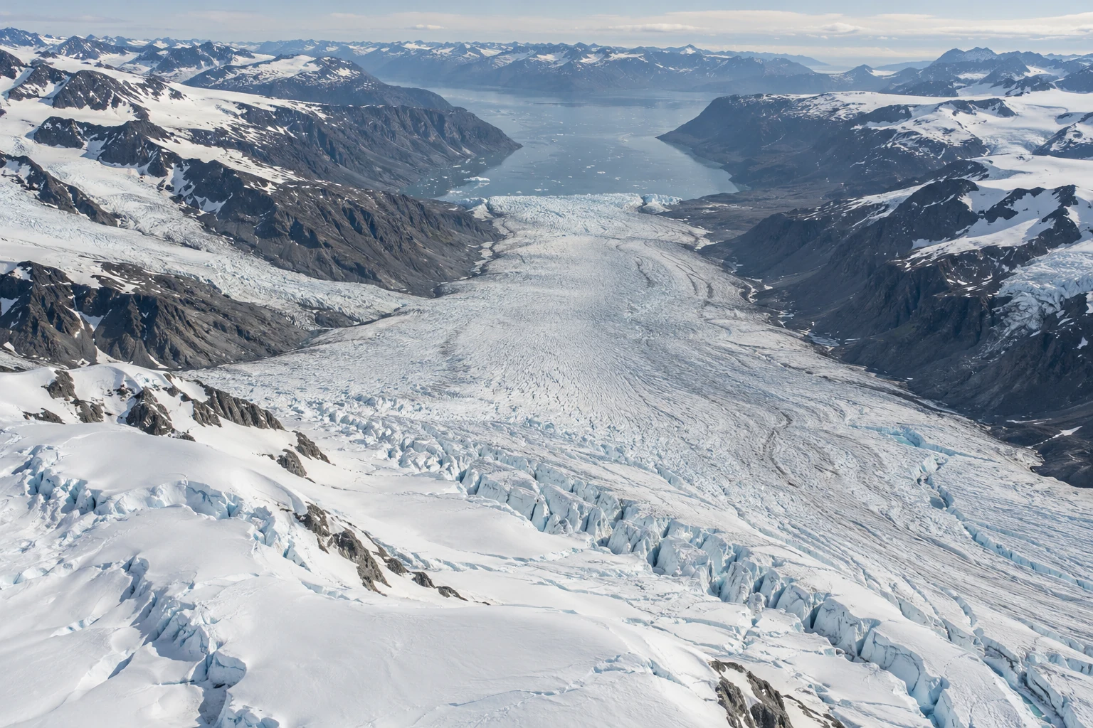
A glacier front is not a balance sheet
Why a glacier’s edge, speed, surface height, and total mass can tell different stories, with Greenland’s 2025 budget as a grounded example.
-
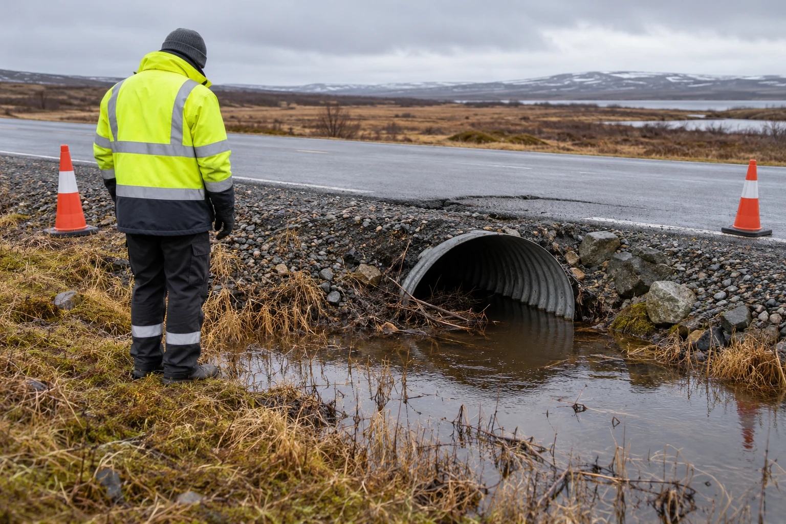
A cracked road needs more than a thaw map
Settlement, erosion, drainage, and slope movement are different infrastructure problems. Start with the service at risk and the evidence for its failure.
-
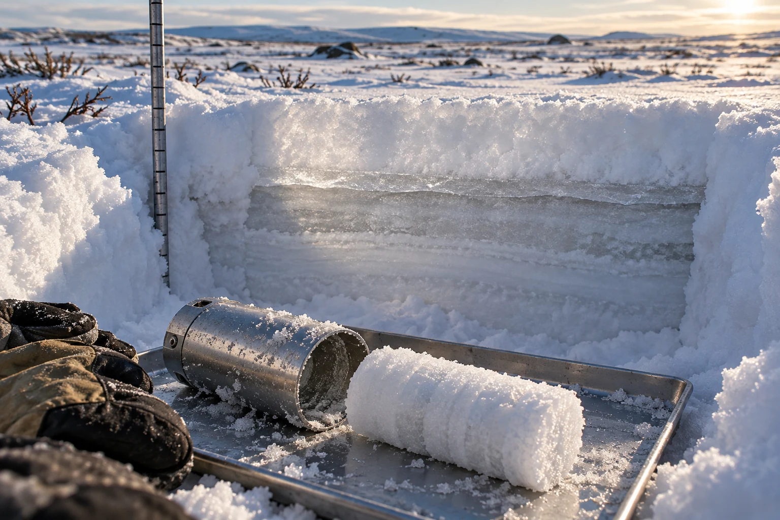
How much water is in that snow?
Equal snow depths can hold different amounts of water. Density, wind redistribution, and sampling purpose determine what a winter measurement means.
-
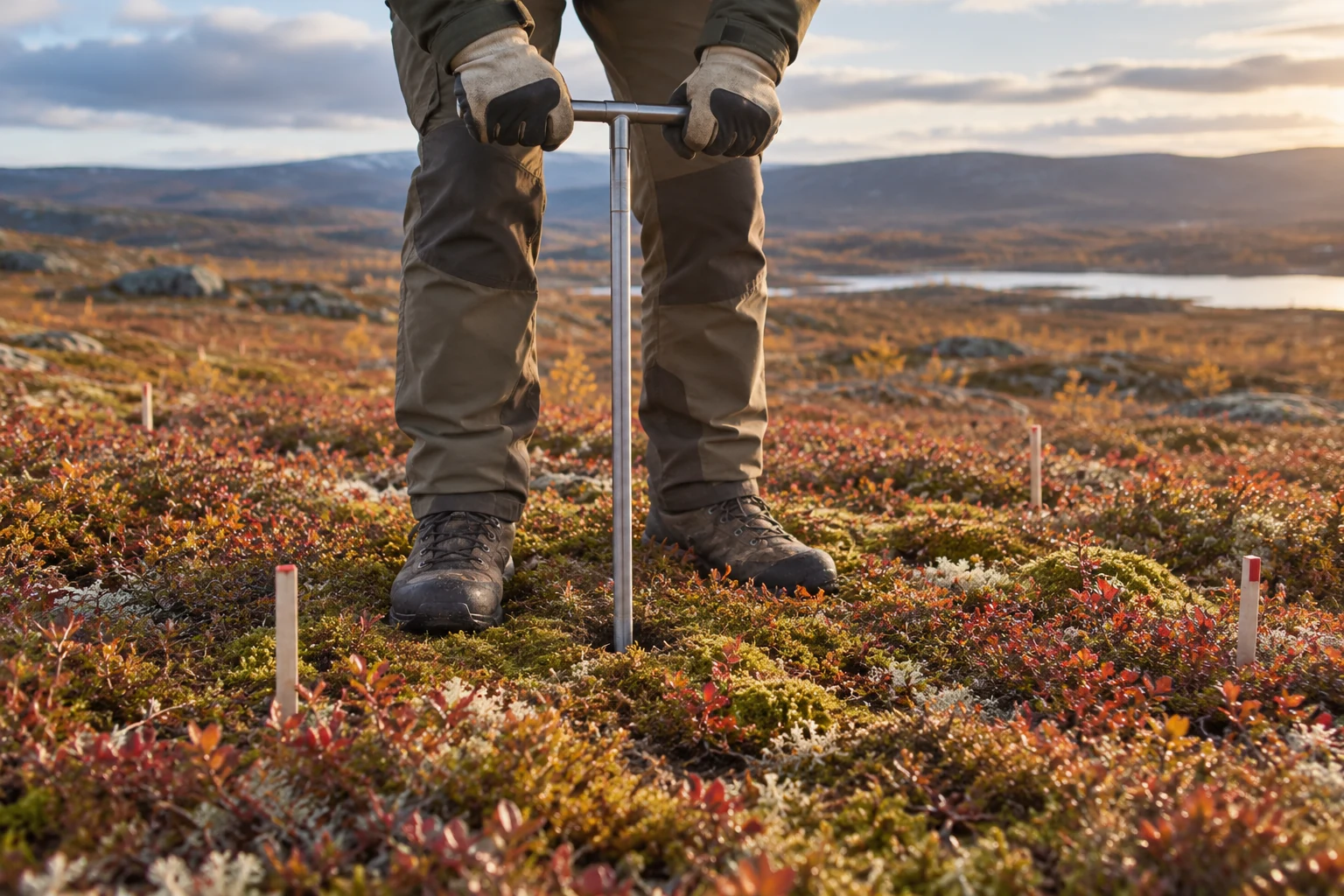
The active layer is not the permafrost
Seasonal thaw depth, ground temperature, and ground-ice content answer different questions. A guide to naming the layer before naming the change.
-
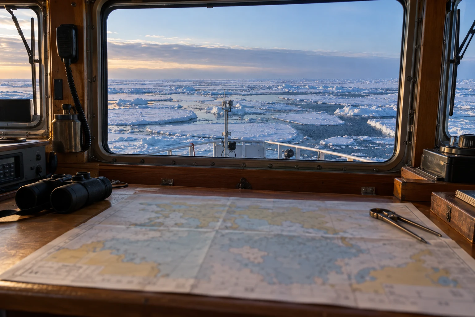
What an ice chart cannot promise
Valid times, egg codes, partial concentrations, and chart coverage matter. Learn why a regional ice analysis cannot guarantee route connectivity, local strength, or a safe journey.