Permafrost
-
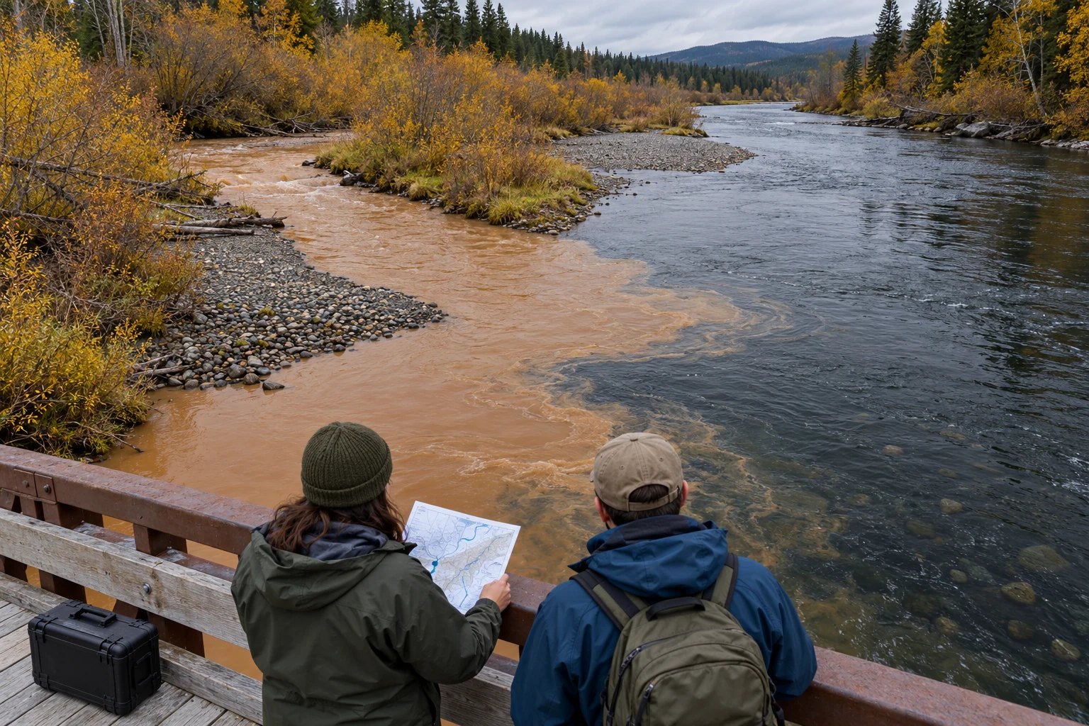
A research question before a sensor
Use a hypothetical river-water question to work backwards from a real concern to sampling, competing explanations, maintenance, and a defensible measurement.
-
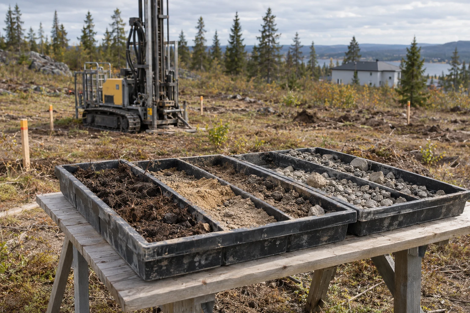
A permafrost map cannot inspect a building plot
Read extent classes, ground-ice estimates, map scale, and missing coverage before asking a regional map to answer a site-specific question.
-
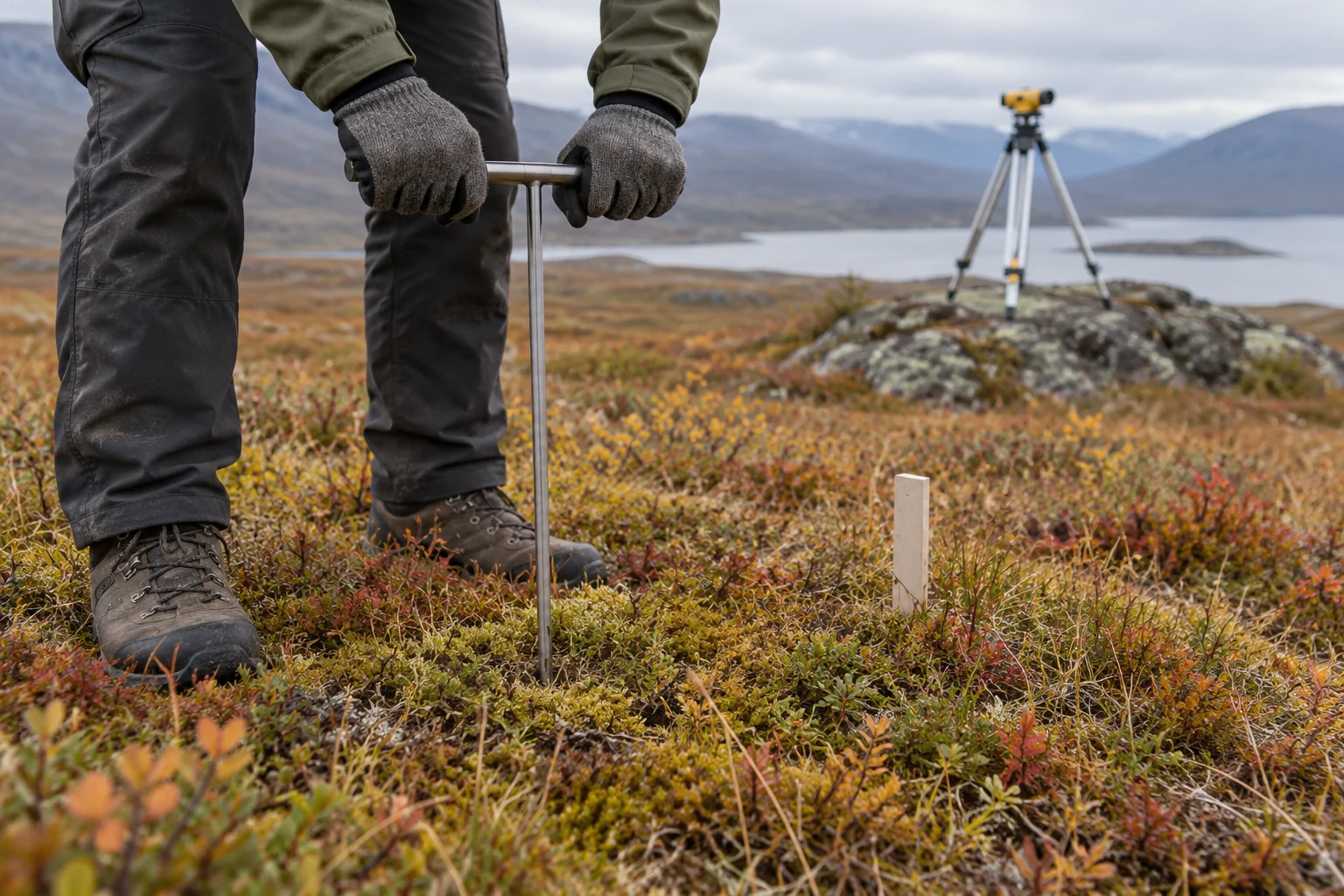
When the ground moves beneath the ruler
A repeated thaw depth can hide a moving surface. Reference conventions, probe refusal, seasonal timing, and survey history keep comparisons honest.
-
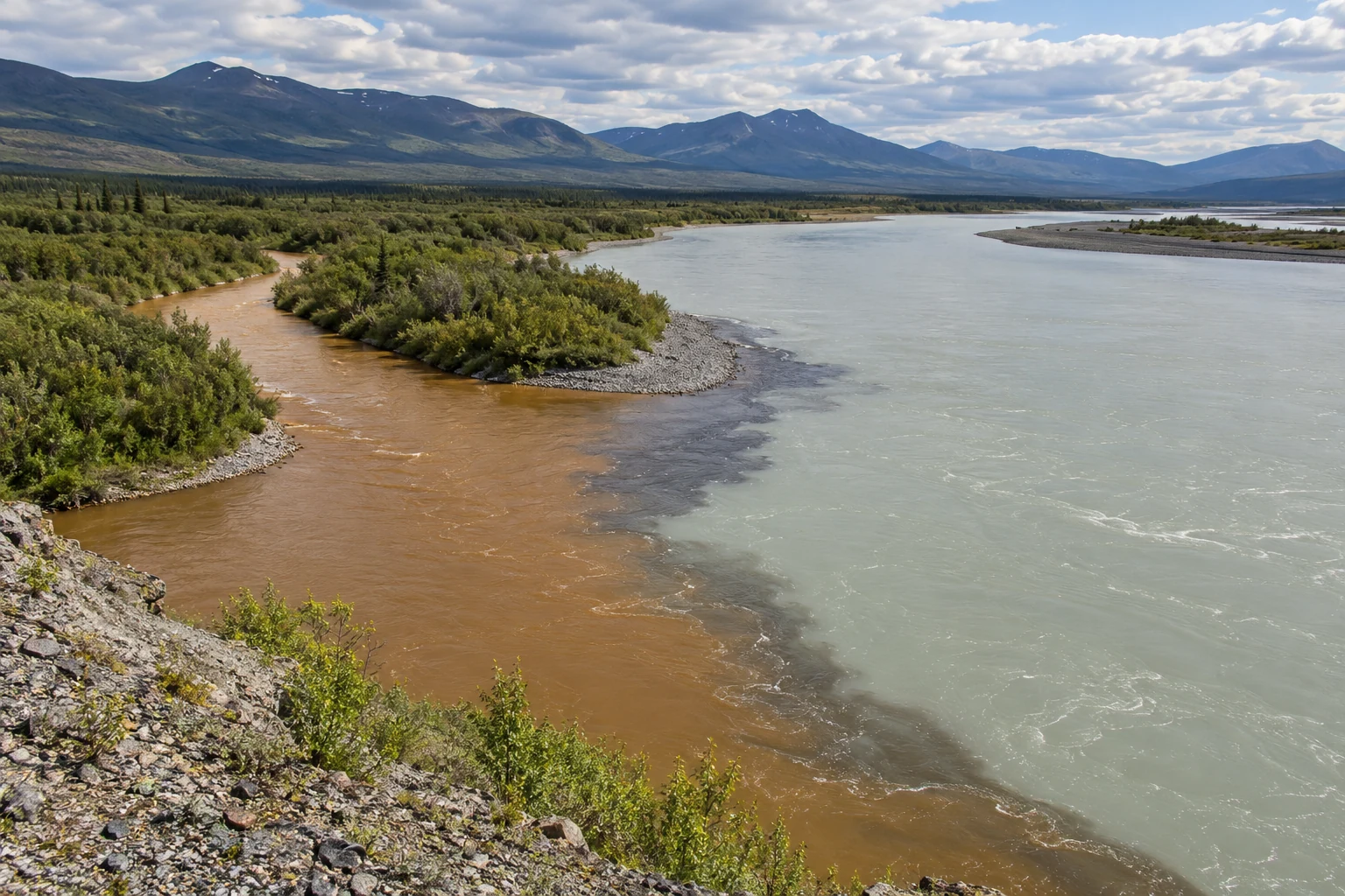
The muddiest water may not carry the most sediment
Concentration is only part of sediment transport. Water flow, event timing, particle properties, and representative sampling complete the picture.
-
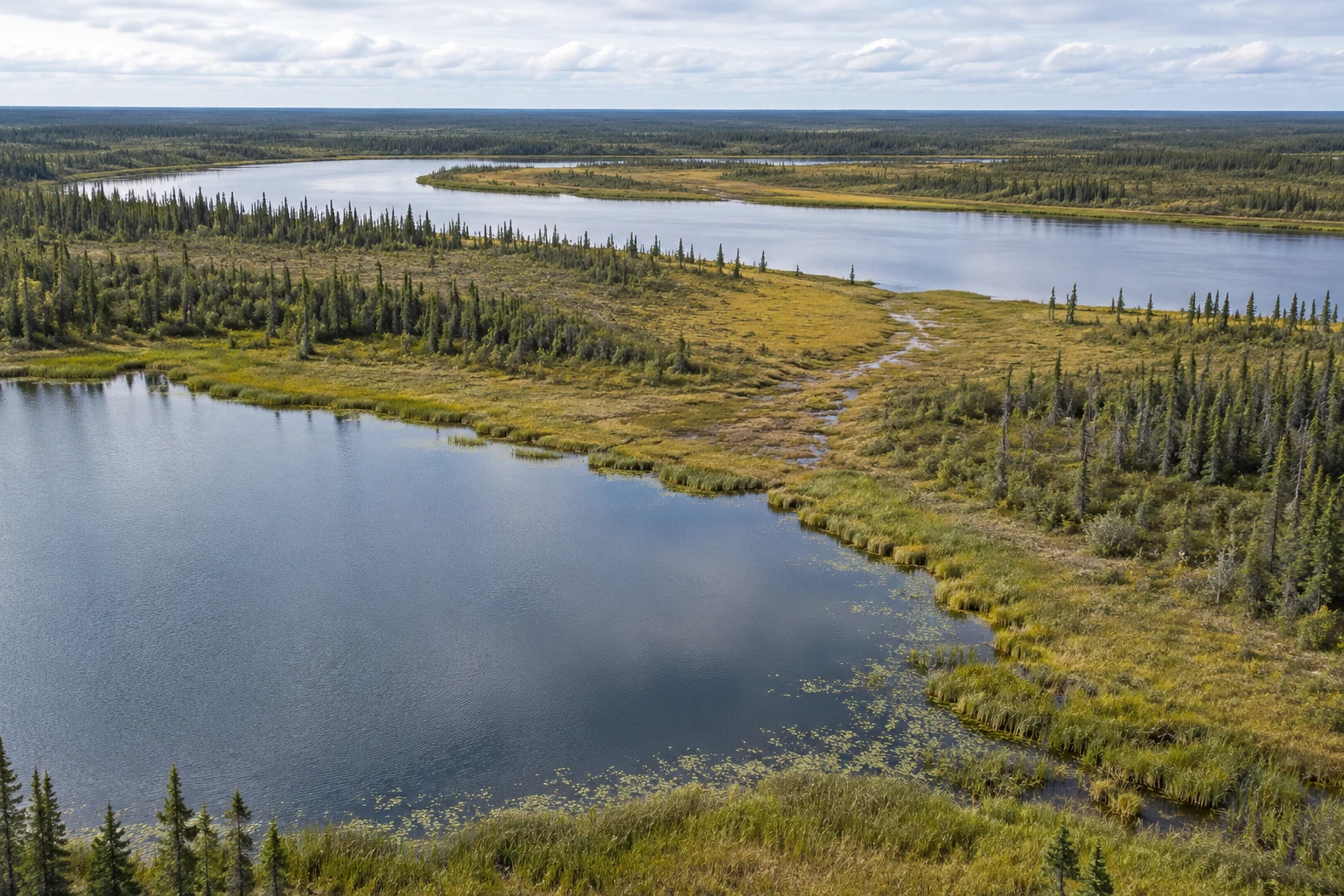
The lake with no visible outlet
Seasonal floods and hidden subsurface pathways connect northern waters. Yukon Flats research shows why a shrinking shoreline is not a complete diagnosis.
-
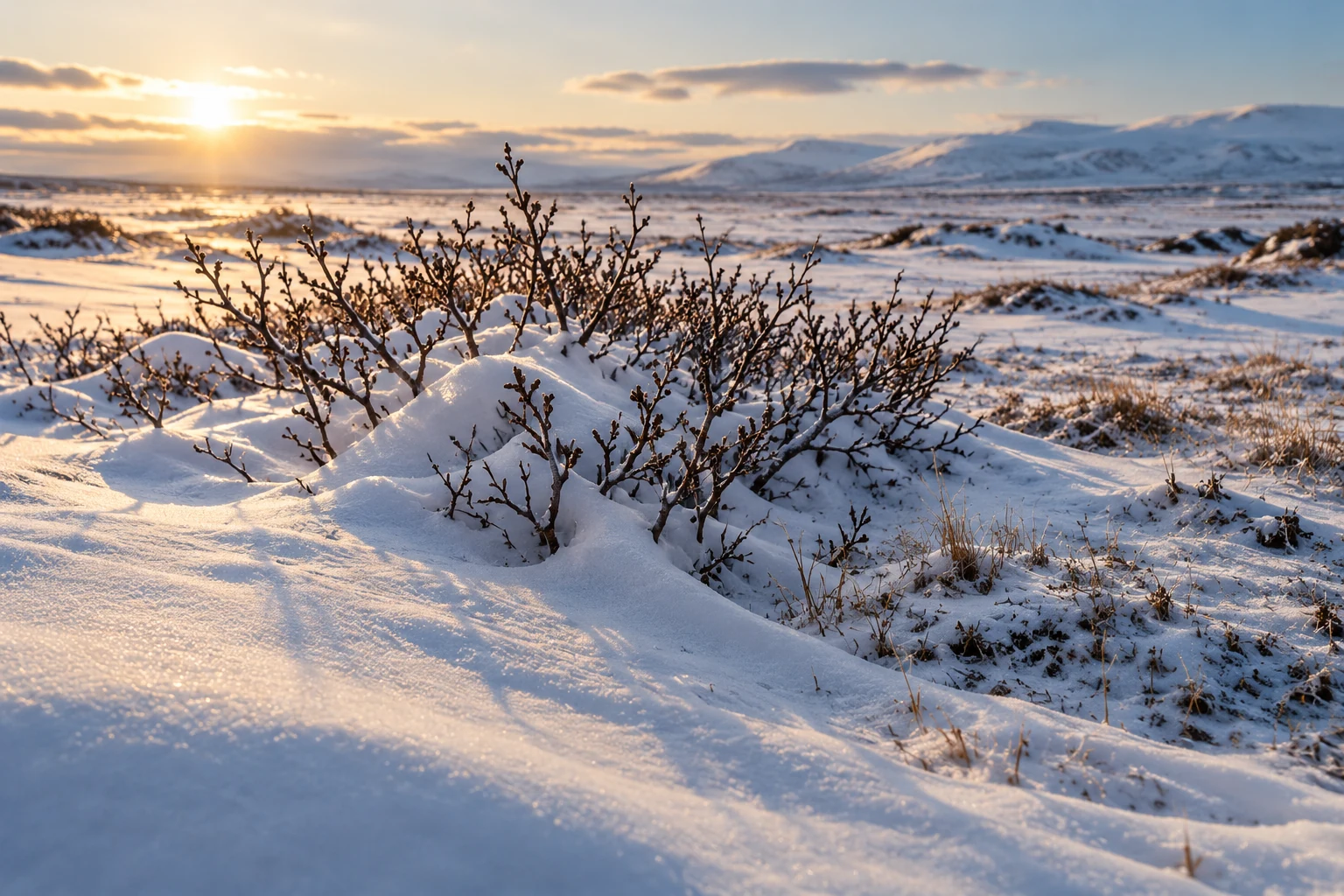
What taller shrubs do to winter
Shrubs alter snow structure, insulation, and sunlight. Published studies show why winter warming and summer soil effects must be read together.
-
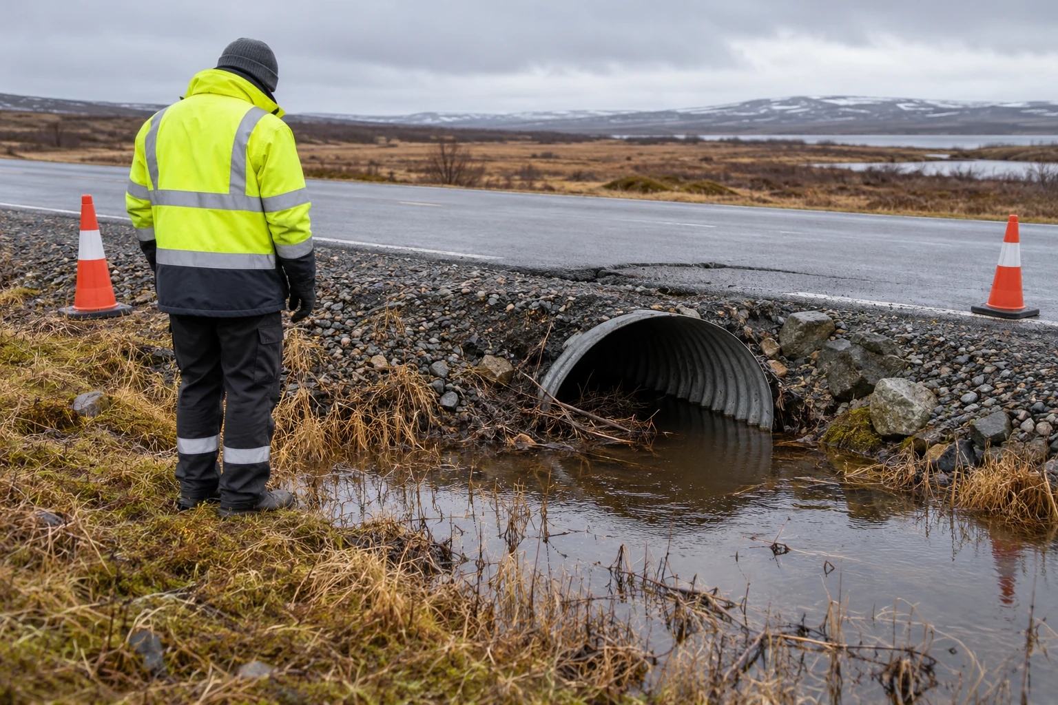
A cracked road needs more than a thaw map
Settlement, erosion, drainage, and slope movement are different infrastructure problems. Start with the service at risk and the evidence for its failure.
-
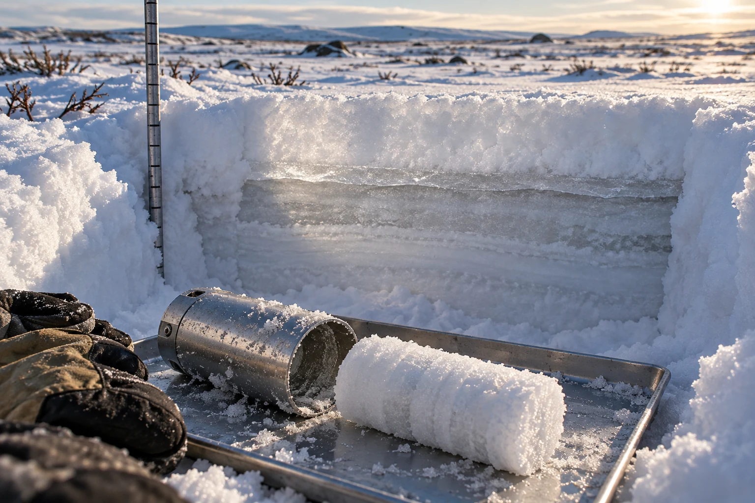
How much water is in that snow?
Equal snow depths can hold different amounts of water. Density, wind redistribution, and sampling purpose determine what a winter measurement means.
-
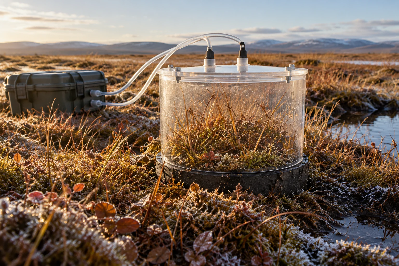
A carbon store is not an annual emission
How to read northern carbon stocks and fluxes without confusing stored material, summer uptake, winter respiration, and regional fire emissions.