Sea ice

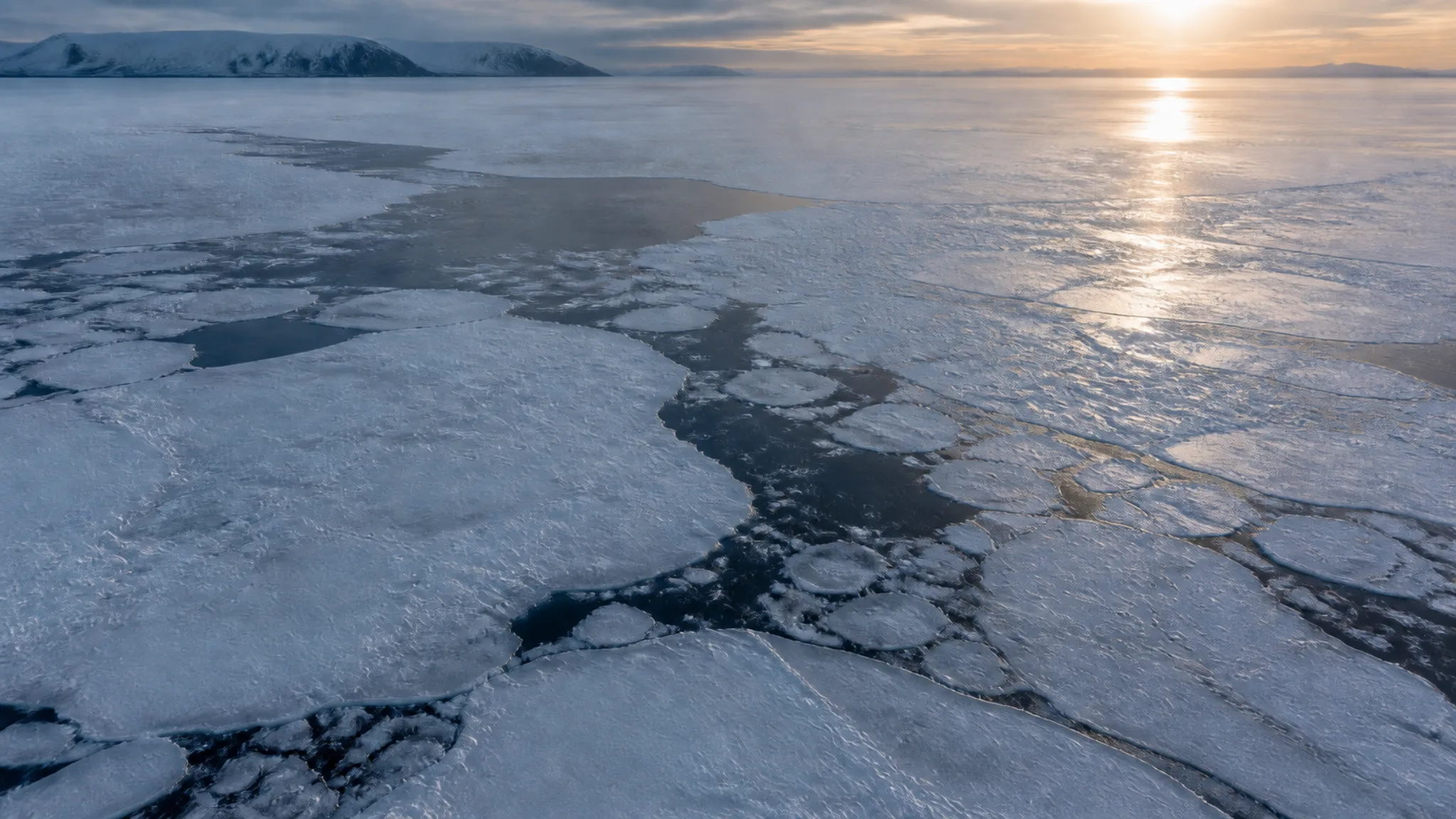
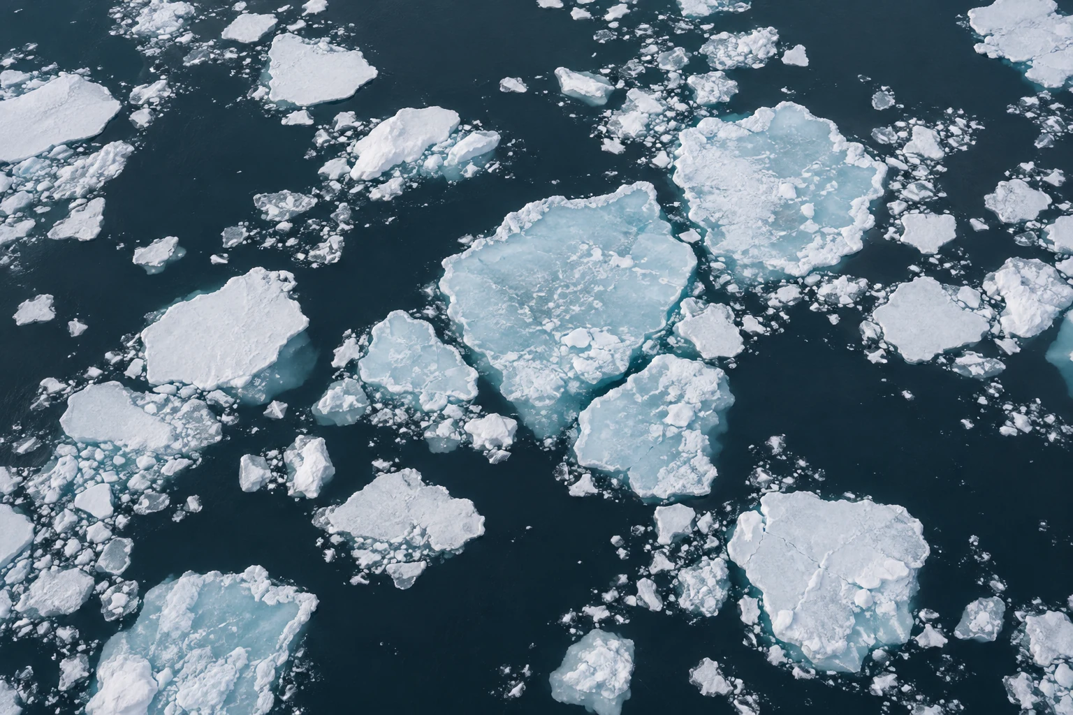
Blue pressure ridges rise above wind-shaped snow on Arctic sea ice.

Sea ice is moving, deforming material. Wind and ocean currents open leads, press floes into ridges, and carry ice across regions. Freeze and melt change its area and thickness through the year. A useful account therefore needs more than one map or one dramatic date.

What the record measures

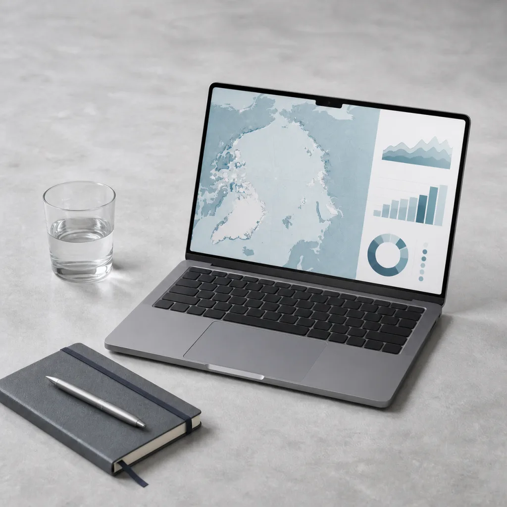
Satellite passive-microwave instruments provide a long, consistent view of sea-ice concentration and extent. Extent counts ocean area with at least a defined concentration of ice, so it is not the same as the area of solid ice. The method is powerful for regional change, but coastal effects, melt water, sensor resolution, and weather can affect retrievals. Analysts compare like definitions and publish updates as methods improve.

The NOAA Arctic Report Card 2025 sea-ice chapter reports that the March 2025 maximum was the lowest in the satellite record. The September daily minimum was 4.60 million km², the tenth lowest in that record. Those two measures describe different seasons. Neither number alone describes thickness, volume, local safety, or ecological consequences.

Age changes structure

Ice that survives more than one summer can thicken and develop a different internal structure from first-year ice. NOAA reports that ice older than four years has declined by more than 95% since the 1980s. The remaining cover is dominated by younger ice, which can respond differently to wind, waves, and summer melt. This is a statement about the age distribution of the wider pack, not a promise that every young floe is thin or every older floe is stable.

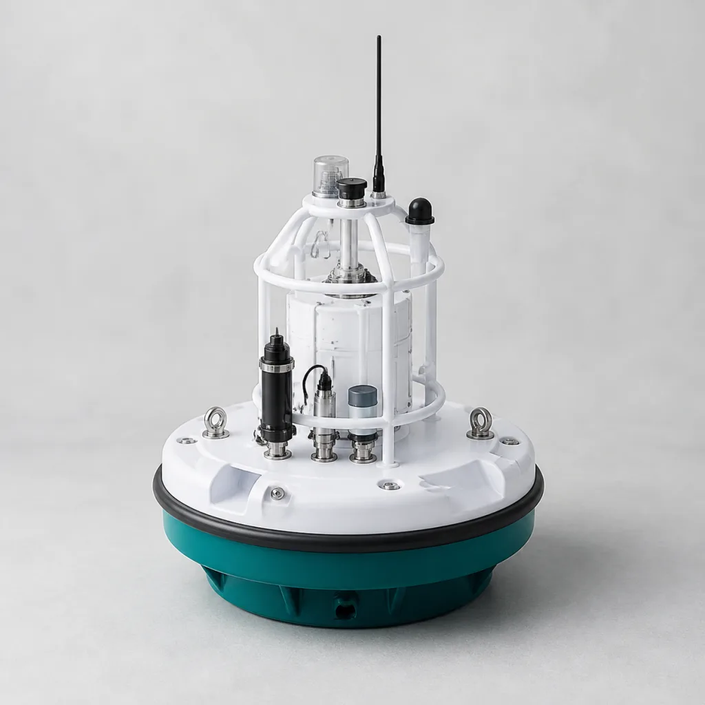
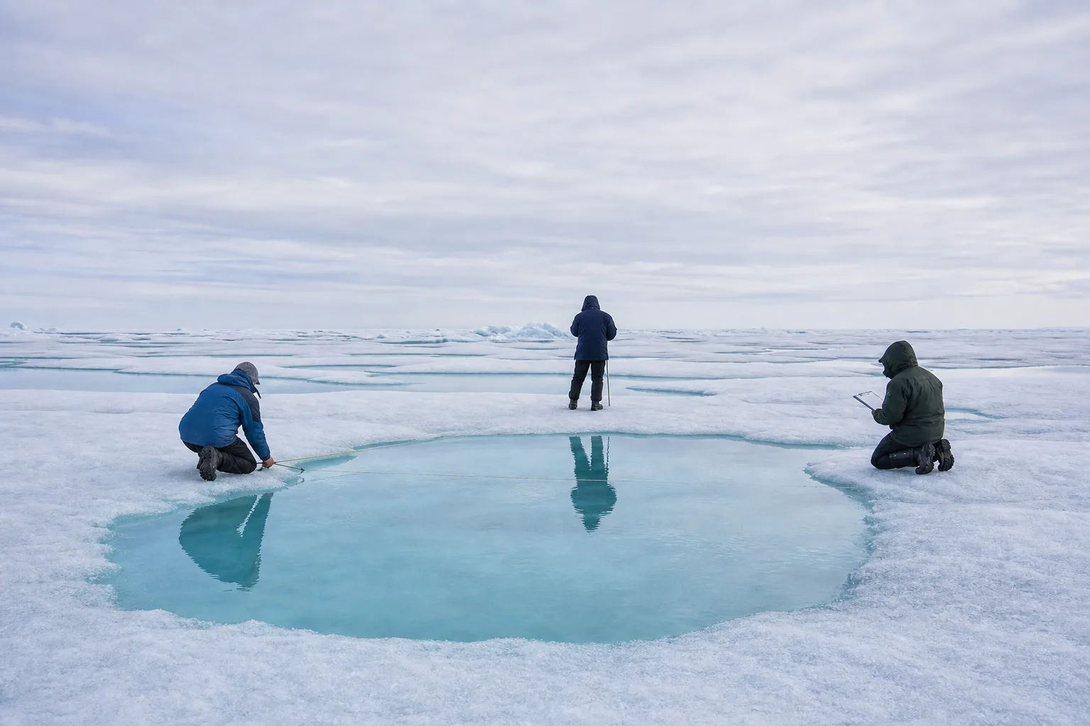
Field measurements add detail. Drill holes, electromagnetic instruments, snow surveys, buoys, and upward-looking sonar can describe thickness and motion at particular places and times. Each method has a footprint and bias. Pressure ridges create strong local variation, while snow can obscure the surface. A responsible field note records route, weather, instrument, calibration, spacing, and the reason a site was chosen.

Reading a melt pond

Melt ponds absorb more sunlight than bright snow and ice, but their meaning changes through the season. A photograph can show color, surface condition, and scale cues. It cannot establish regional pond fraction or future melt without a sampling design and wider observations. Repeated imagery, transects, and satellite products can be compared, provided their dates and definitions remain visible.

The fictional field story At the ice edge north of Svalbard follows that chain from local observation to cautious interpretation. It also keeps wildlife distance and operational decisions in the account, because a measurement is not separable from how people reached it.

Questions to carry forward

  • Does the claim concern extent, area, thickness, volume, age, drift, or a local surface condition?
  • Which season, baseline, and geographic region are being compared?
  • How does the observation method handle melt water, snow, coastline, or deformation?
  • Is a field point being used as context, validation, or evidence of a regional pattern?

Sea-ice evidence is strongest when different methods constrain one another and their disagreements remain available for review. The aim is not a perfectly smooth story. It is a record clear enough for another reader to understand what changed, how it was measured, and where confidence ends.

For the full source list, image disclosure, and evidence standards used across this fictional site, see Sources and methods.

Scale changes the answer

A local ice camp can resolve snow depth, ridge shape, and thickness variation that a coarse satellite product cannot see. A satellite can place that camp within a regional season that no field route can cover. Buoys add motion through time, while ships and aircraft can cross selected transects. None is the master record. Their value comes from knowing which scale each method resolves and designing comparisons that respect those differences.

Operational language also needs care. Scientific descriptions of extent or age do not determine whether a route is safe. Travel decisions require current local knowledge, appropriate authority, weather, visibility, equipment, and conservative judgment. This fictional programme discusses physical evidence only. It does not provide navigation, hunting, shipping, or field-safety advice.

A complete public record should also preserve the ordinary days when instruments worked and no striking event occurred. Those observations define the range against which unusual conditions are recognized. Publishing only dramatic ridges, breakups, or minimum dates would bias the archive toward spectacle and make normal variability harder to understand.